Бурхалинский перевал / geographic pointLandscapes and habitats
online plant identification guide
Directories
Region
| Geographic point: | Бурхалинский перевал |
| Coordinates: | 62° 40′ 00″ N, 148° 57′ 00″ E (view at maps of Google, OpenStreetMap, Yandex) |
| Administrative location: | Россия, Магаданская область, Ягоднинский район |
| Physiographic location: | Северо-Восточная Сибирь, Колымское нагорье, Бурхалинский перевал |
| Author: | Анна Миронова |
Images
From 1 to 4 are shown (4 of 4 found)
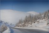 |
 Бурхалинский перевал На спуске с Бурхалинского перевала. 13.02.2010. winter |
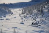 |
Бурхалинский перевал Охотничий домик на перевале. 13.02.2010. winter |
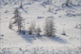 |
Бурхалинский перевал Заснеженные лиственницы на спуске с перевала. 13.02.2010. winter |
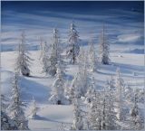 |
Бурхалинский перевал Заснеженные лиственницы Каяндера. 13.02.2010. winter |
Plants and lichens
Participant
Search
| Feedback | Text to cite the page | To the top |