Заповедник "Комбхалгар" / geographic pointLandscapes and habitats
online plant identification guide
Directories
Region
| Geographic point: | Заповедник "Комбхалгар" |
| Coordinates: | 25° 02′ 39.74″ N, 73° 26′ 09.56″ E (view at maps of Google, OpenStreetMap, Yandex) |
| Administrative location: | Индия, штат Раджастхан, округ Пали, национальный заповедник "Кombhalgarh" |
| Physiographic location: | Южная и Юго-Восточная Азия, Индо-Гангская равнина, хребет Аравали |
| Author: | Вадим Должанский |
Description
Национальный заповедник на высоте от 600 до 900 метров в сухих лиственных лесах экорегиона Хатиар-Гир.
Images
From 1 to 3 are shown (3 of 3 found)
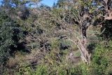 |
 Заповедник "Комбхалгар" Горный лес. 10.12.2022. dry season |
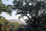 |
Заповедник "Комбхалгар" Хребет Аравали. 09.12.2022. dry season |
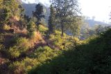 |
Заповедник "Комбхалгар" Горный лес. 10.12.2022. dry season |
Plants and lichens
Participant
Search
| Feedback | Text to cite the page | To the top |