Покхара / geographic pointLandscapes and habitats
online plant identification guide
Directories
Region
| Geographic point: | Покхара |
| Coordinates: | 28° 09′ 07.94″ N, 84° 06′ 32.19″ E (view at maps of Google, OpenStreetMap, Yandex) |
| Administrative location: | Непал, провинция Гандаки-Прадеш, район Каски, город Покхара |
| Physiographic location: | Южная и Юго-Восточная Азия, Гималаи, долина Пахар-Кханда |
| Author: | Вадим Должанский |
Description
Субтропические лиственные леса на холмах между озерами
Images
From 1 to 5 are shown (5 of 5 found)
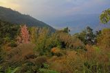 |
Покхара Вид на город с холма World Peace Pagoda. 26.11.2017. dry season |
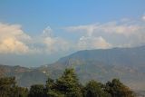 |
Покхара Вид на Большие Гималаи с холма Sarangkot. dry season |
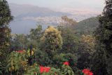 |
Покхара Вид на город с холма World Peace Pagoda. 26.11.2017. dry season |
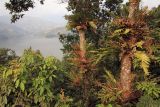 |
Покхара Лес по берегам озера Пуна. 27.11.2017. dry season |
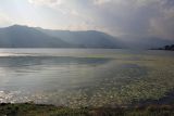 |
Покхара Озеро Пхева. 26.11.2017. dry season |
Text to cite the page
Должанский В.Ю. 2022. Покхара [географическая точка: ландшафты и сообщества] // Плантариум. Растения и лишайники России и сопредельных стран: открытый онлайн атлас и определитель растений. [Электронный ресурс] URL: https://www.plantarium.ru/page/landscapes/point/11917.html (дата обращения: 10.02.2026).
Должанский В.Ю. 2022. Покхара [geographic point: photos of landscapes and habitats] // Plantarium. Plants and lichens of Russia and neighboring countries: open online galleries and plant identification guide. URL: https://www.plantarium.ru/lang/en/page/landscapes/point/11917.html (accessed on 10 Feb 2026).
Plants and lichens
Participant
Search
|
|
Feedback | To the top |