Усухчай / geographic pointLandscapes and habitats
online plant identification guide
Directories
Region
| Geographic point: | Усухчай |
| Coordinates: | 41° 24′ 55.8″ N, 47° 54′ 46.8″ E (view at maps of Google, OpenStreetMap, Yandex) |
| Administrative location: | Россия, Республика Дагестан, Докузпаринский район, село Усухчай |
| Physiographic location: | Кавказ, Большой Кавказ, Восточный Кавказ, бассейн реки Самур, долина реки Самур |
| Author: | Gennadiy Okatov |
Images
From 1 to 8 are shown (8 of 8 found)
 |
Усухчай Плантация капусты (Brassica oleracea) в долине реки Усухчай. 23.06.2024. summer |
 |
Усухчай Село Усухчай. Вид на горы Базардюзи и Ерыдаг. 23.06.2024. summer |
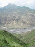 |
Усухчай Вид на среднегорный луг, р. Самур и гору Гестинкиль (2788 м н.у.м.). Выс. ок. 1200 м н.у.м. 04.06.2019. summer |
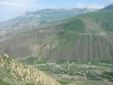 |
Усухчай Село Усухчай и окрестные горы. Вид с выс. ок. 1200-1300 м н.у.м. 04.06.2019. summer |
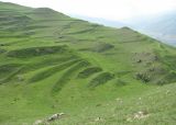 |
Усухчай Среднегорные луга на выс. ок. 1200-1300 м н.у.м. 04.06.2019. summer |
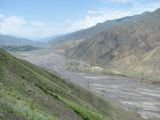 |
Усухчай Долина р. Самур близ села. Выс. ок. 900-1000 м н.у.м. 04.06.2019. summer |
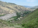 |
Усухчай Село Усухчай на берегу р. Самур. Выс. ок. 900-1000 м н.у.м. 04.06.2019. summer |
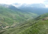 |
Усухчай Долина р. Усухчай. Выс. ок. 1200 м н.у.м. 04.06.2019. summer |
Text to cite the page
Окатов Г., Саркаров Ю.К. 2019—2021. Усухчай [географическая точка: ландшафты и сообщества] // Плантариум. Растения и лишайники России и сопредельных стран: открытый онлайн атлас и определитель растений. [Электронный ресурс] URL: https://www.plantarium.ru/page/landscapes/point/10470.html (дата обращения: 06.02.2026).
Okatov G., Саркаров Ю.К. 2019—2021. Усухчай [geographic point: photos of landscapes and habitats] // Plantarium. Plants and lichens of Russia and neighboring countries: open online galleries and plant identification guide. URL: https://www.plantarium.ru/lang/en/page/landscapes/point/10470.html (accessed on 6 Feb 2026).
Plants and lichens
Participant
Search
|
|
Feedback | To the top |