Пойма р. Ока у г. Серпухов / geographic pointLandscapes and habitats
online plant identification guide
Directories
Region
| Geographic point: | Пойма р. Ока у г. Серпухов |
| Coordinates: | 54° 53′ 27.01″ N, 37° 25′ 22.3″ E (view at maps of Google, OpenStreetMap, Yandex) |
| Administrative location: | Россия, Московская область, Серпуховский район |
| Physiographic location: | Восточно-Европейская равнина, бассейн реки Волга, бассейн реки Ока, долина реки Ока |
| Author: | Михаил Шовкун |
Description
Пойма р. Ока.
Images
From 1 to 4 are shown (4 of 4 found)
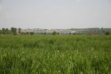 |
 Пойма р. Ока у г. Серпухов Сенокосный луг (кострец безостый). late spring or early summer |
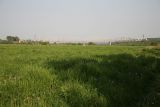 |
Пойма р. Ока у г. Серпухов Сенокосный луг (кострец безостый). late spring or early summer |
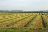 |
Пойма р. Ока у г. Серпухов Сенокосный луг (люцерна посевная). late summer or early autumn |
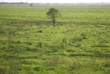 |
Пойма р. Ока у г. Серпухов Заливной сеяный луг на пойме. Травяной покров - преимущественно кострец безостый. summer |
Plants and lichens
Participant
Search
| Feedback | Text to cite the page | To the top |