EnvironmentLandscapes and habitats
online plant identification guide
Directories
Images
From 48241 to 48270 are shown (30 of 53076 found)
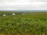 |
Долина Большой Хойлаю со склона г. Хойламыльк (492 м). Июль 2011 г. summer |
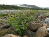 |
Берёзовый "куст" на берегу Труба-Ю. Июль 2011 г. summer |
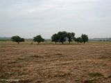 |
Остатки сада на месте бывшего хутора. 31 июля 2011 г. summer |
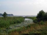 |
Впадение в озеро остатков (сейчас - мелиоративной системы) небольшой речки Выжевки. 31 июля 2011 г. summer |
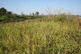 |
Заливной луг на берегу старицы; цветёт Gentiana pneumonanthe. 31.08.2011. late summer — early autumn |
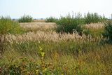 |
Вейниковый луг с ивой. 30.08.2011. late summer — early autumn |
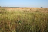 |
Заливные луга в пойме Камы. 30.08.2011. late summer — early autumn |
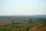 |
Вид на пойму Камы со склона долины. 30.08.2011. late summer — early autumn |
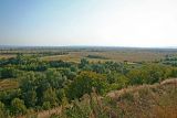 |
Вид на пойму Камы со склона долины. 30.08.2011. late summer — early autumn |
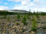 |
Молодые лиственницы на валунно-галечной прирусловой части долины Труба-Ю. Июль 2011 г. summer |
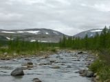 |
Долина Труба-Ю недалеко от устья, вид вверх по течению. Берега реки поросли лиственничным редколесьем, кое-где встречается берёза. Июль 2011 г. summer |
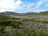 |
Валунно-галечное дно долины Кершора недалеко от устья. На переднем плане можжевельник сибирский (Juniperus sibirica). Август 2011 г. summer |
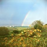 |
Живописное место (начало 90-тых годов). late spring — early summer |
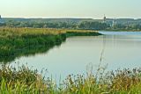 |
Берег оз. Большое. 29.08.2011. late summer — early autumn |
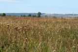 |
Заливной луг. 29.08.2011. late summer — early autumn |
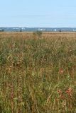 |
Заливной луг. 29.08.2011. late summer — early autumn |
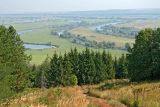 |
Вид на пойму Камы со склона долины. 31.08.2011. late summer — early autumn |
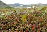 |
Баранец (Huperzia) среди луазелёрии лежачей (Loiseleuria procumbens), на заднем плане - багульник (Ledum). Август 2011 г. summer |
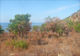 |
После пожара - редколесье с преобладанием Quercus pubescens и Pistacia mutica. 21 августа 2011 г. summer |
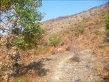 |
После пожара - редколесье с преобладанием Quercus pubescens и Pistacia mutica. 21 августа 2011 г. summer |
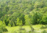 |
Арчевник (можжевеловое редколесье). На переднем плане - Paliurus spina-christi. 30 мая 2008 г. summer |
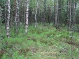 |
Смешанный лес со сфагновым и зеленомошным покровом. Из трав виден Equisetum sylvaticum. 16.07.2011. summer |
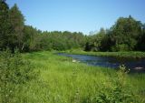 |
Река Шоноша. По обеим берегам реки видны заросли Petasites radiatus. 02.07.2011. summer |
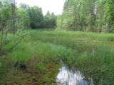 |
Зарастающий водоём в лесу. 19.07.2011. summer |
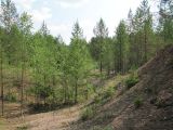 |
Ландшафт на месте бывших карьеров (?). Виден молодой древостой преимущественно с Pinus sylvestris. 27.06.2011. summer |
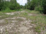 |
Местность с сырой почвой. Здесь обыкновенны Equisetum variegatum, Carex flava, Agrostis stolonifera и др. 08.07.2011. summer |
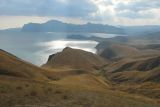 |
Приморские склоны горы Джан-Куторан. На заднем плане массив Карадаг. autumn |
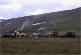 |
Лагерь геологов в верховье Кершора. На переднем плане заросли берёзки карликовой (Betula nana). Август 2011 г. summer |
 |
Природа Колымы, сопки. summer |
 |
Мост через реку Колыма (колымская трасса) в районе поселка Дебин. 30.06.2006. summer |
Plants and lichens
Participant
Search
|
|
Feedback | To the top |