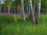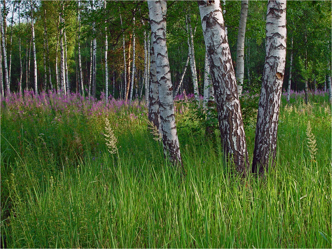
Окраина смешанного леса с зарослями Calamagrostis epigeios и Chamaenerion angustifolium и отдельно растущими берёзами (Betula). 14.07.2002. [summer]
- Administrative location:
- • Россия, Московская область, Раменский район, городское поселение Кратово, деревня Хрипань
- Phisiographic location:
- • Восточно-Европейская равнина, Мещёрская низменность, Подмосковная равнина
See also:
Photos of plants & lichens (8667)