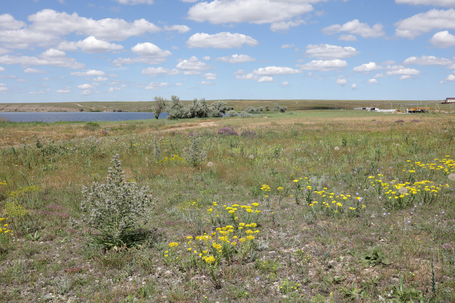
Частично нарушенная степь с цветущими Haplophyllum suaveolens, Echium biebersteinii, Euphorbia seguieriana, Phlomis pungens, Linum austriacum, Sideritis montana, Ajuga sp., Thymus sp. и другими видами. 14 июня 2026 г. [summer]
- Administrative location:
- • Россия, Республика Крым, Черноморский район
- Phisiographic location:
- • Восточно-Европейская равнина, Равнинный Крым, Тарханкутский полуостров, озеро Донузлав
See also: