Южный склон плато Паул-да-Серра / geographic pointPhotos of plants and lichens
online plant identification guide
Directories
Region
| Geographic point: | Южный склон плато Паул-да-Серра |
| Coordinates: | 32° 45′ 19.22″ N, 17° 08′ 57.94″ W (view at maps of Google, OpenStreetMap, Yandex) |
| Administrative location: | Португалия, автономный регион Мадейра, муниципалитет Кальета |
| Physiographic location: | Атлантический океан, архипелаг Мадейра, остров Мадейра, плато Паул-да-Серра |
| Author: | Марина Скотникова |
| Description: | show |
Images
From 1 to 14 are shown (14 of 14 found)
 |
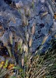
 Верхушки побегов с соцветиями. Португалия, о-в Мадейра, южный склон плато Паул-да-Серра, ≈ 1000 м н.у.м., каменистый склон, у дороги. 10.06.2026. |
 |
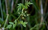
Цветущее растение. Португалия, о-в Мадейра, южный склон плато Паул-да-Серра, ≈ 1000 м н.у.м., у подножия скалы. 10.06.2026. |
 |
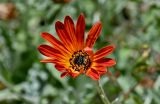
Верхушка побега с распускающимся соцветием. Португалия, о-в Мадейра, южный склон плато Паул-да-Серра, ≈ 1000 м н.у.м., у подножия скалы. 10.06.2026. |
 |
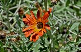
Соцветие. Португалия, о-в Мадейра, южный склон плато Паул-да-Серра, ≈ 1000 м н.у.м., у дороги. 10.06.2026. |
 |
Соцветие и верхушки листьев. Португалия, о-в Мадейра, южный склон плато Паул-да-Серра, ≈ 1000 м н.у.м., у дороги. 10.06.2026. |
 |
Цветущие растения. Португалия, о-в Мадейра, южный склон плато Паул-да-Серра, ≈ 1000 м н.у.м., у дороги. 10.06.2026. |
 |
Верхушки побегов с соцветиями. Португалия, о-в Мадейра, южный склон плато Паул-да-Серра, ≈ 1000 м н.у.м., каменистый склон. 10.06.2026. |
 |
Верхушки побегов с соцветиями и соплодиями. Португалия, о-в Мадейра, южный склон плато Паул-да-Серра, ≈ 1000 м н.у.м., у подножия скалы. 10.06.2026. |
 |
Цветущие и плодоносящие растения. Португалия, о-в Мадейра, южный склон плато Паул-да-Серра, ≈ 1000 м н.у.м., у подножия скалы. 10.06.2026. |
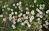 |
Верхушки побегов с соцветиями. Португалия, о-в Мадейра, южный склон плато Паул-да-Серра, ≈ 1000 м н.у.м., на скале. 10.06.2026. |
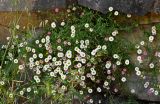 |
Цветущие растения. Португалия, о-в Мадейра, южный склон плато Паул-да-Серра, ≈ 1000 м н.у.м., на скале. 10.06.2026. |
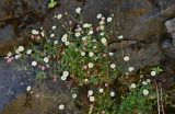 |
Цветущее растение. Португалия, о-в Мадейра, южный склон плато Паул-да-Серра, ≈ 1000 м н.у.м., на скале. 10.06.2026. |
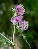 |
Верхушка побега с соцветиями. Португалия, о-в Мадейра, южный склон плато Паул-да-Серра, ≈ 1000 м н.у.м., опушка эвкалиптовой рощи. 10.06.2026. |
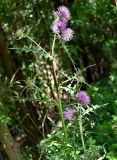 |
Верхушка цветущего растения. Португалия, о-в Мадейра, южный склон плато Паул-да-Серра, ≈ 1000 м н.у.м., опушка эвкалиптовой рощи. 10.06.2026. |
Plants and lichens
Participant
Search
|
|
Feedback | Text to cite the page | To the top |