Гумиста / geographic pointLandscapes and habitats
online plant identification guide
Directories
Region
| Geographic point: | Гумиста |
| Coordinates: | 43° 01′ 30.16″ N, 40° 57′ 37.98″ E (view at maps of Google, OpenStreetMap, Yandex) |
| Administrative location: | Абхазия, Сухумский район |
| Physiographic location: | Кавказ, Большой Кавказ, Черноморское побережье Кавказа, долина реки Гумиста |
| Author: | Vadim Prokhorov |
Description
Долина реки Гумиста к северо-западу от г. Сухум.
Images
The author of the photos shown here is Елена Алешичева. These photos are just a part of the complete set of images.
From 1 to 6 are shown (6 of 6 found)
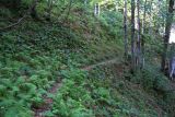 |
Гумиста Тропа вдоль р. Чха. summer |
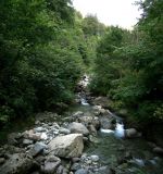 |
Гумиста р.Чха. summer |
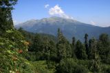 |
Гумиста Урочище Пихтовая поляна. summer |
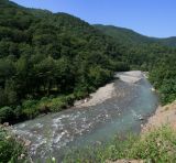 |
Гумиста Западная Гумиста в среднем течении. summer |
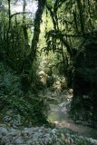 |
Гумиста Леса в долине Западной Гумисты. summer |
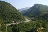 |
Гумиста Восточная Гумиста в среднем течении. summer |
Text to cite the page
Прохоров В.Е., Алешичева Е.Г., Лучкин М.В. 2011—2014. Гумиста [географическая точка: ландшафты и сообщества] // Плантариум. Растения и лишайники России и сопредельных стран: открытый онлайн атлас и определитель растений. [Электронный ресурс] URL: https://www.plantarium.ru/page/landscapes/point/1030.html (дата обращения: 08.02.2026).
Prokhorov V., Алешичева Е.Г., Лучкин М.В. 2011—2014. Гумиста [geographic point: photos of landscapes and habitats] // Plantarium. Plants and lichens of Russia and neighboring countries: open online galleries and plant identification guide. URL: https://www.plantarium.ru/lang/en/page/landscapes/point/1030.html (accessed on 8 Feb 2026).
Plants and lichens
Participant
Search
|
|
Feedback | To the top |