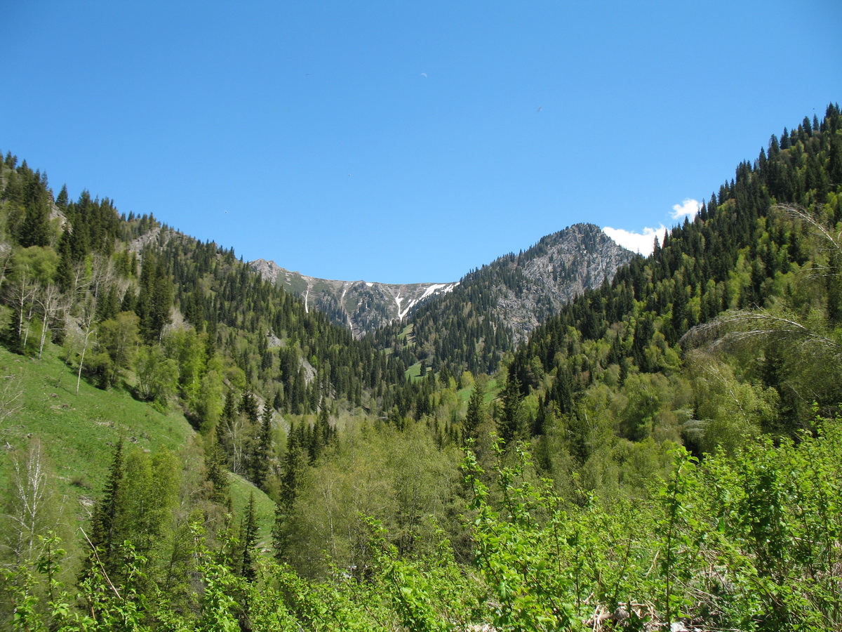
Пояс смешанных лесов в верховьях ущ. Текели, ≈ 1700 м н.у.м.; видны Ribes, Betula pendula, Populus tremula, Picea schrenkiana. 16 мая 2013 г. [spring]
- Administrative location:
- • Казахстан, Жетысуская область, Ескельдинский район
- Phisiographic location:
- • Средняя Азия и Центральный Казахстан, Горы Средней Азии и Казахстана, Джунгарский Алатау, ущелье Текели
See also: